Following developments under Activity 2 of the Baltic Data Flows project, the new HELCOM Metadata Catalogue (https://metadata.helcom.fi) is now live. The Metadata Catalogue benefits from a revamped user interface along with the latest stable Geonetwork version 3.12. The GeoNetwork is a catalogue application designed to manage spatially referenced resources that provides powerful metadata editing and search functions.
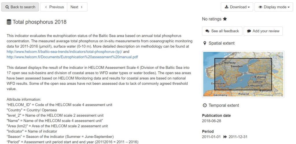
Each metadata record has a unique identifier that is used to relate metadata records with datasets stored in the HELCOM Map and Data Service (MADS). The MADS contains all geospatial data relevant for HELCOM work from status assessments to shipping density maps, totaling up to more than 1,000 maps. The MADS contains various functionalities for viewing datasets, for example, identify features and attribute table functionalities. In each metadata records there are links to the related data layers in MADS, as well as links to the downloadable resources.
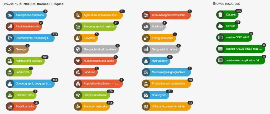
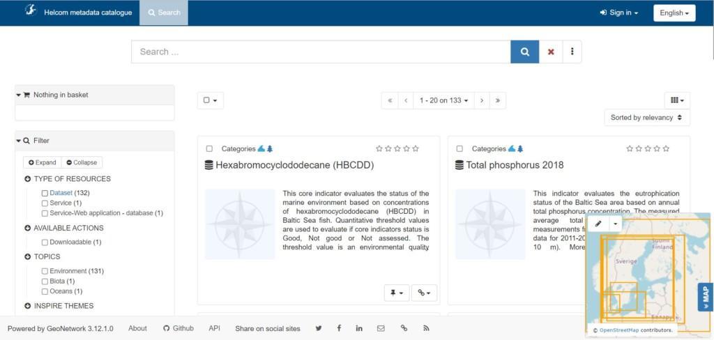
The Metadata Catalogue provides an easy to use web interface to search geospatial data across multiple catalogs. The search provides full-text search as well as faceted search on keywords, resource types, organizations, scale, etc. Users can easily refine the search and quickly get to the records of interest. GeoSpatial layers, but also services, maps or even non geographic datasets can be described in the catalogue.
The HELCOM GeoNetwork implementation has been configured to be INSPIRE compatible in terms of metadata on datasets and contains a tool to validate metadata records against the INSPIRE validator. The INSPIRE validator and thesauri were used during development to ensure all metadata records are INSPIRE compliant. The metadata catalog has also been configured for data harvesting to the ‘data.europa.eu’, and other relevant metadata harvesting initiatives.


